Home
Deer Counts & Censusing
Deer Counts & Censusing
Accurate population data using drone aerial surveys across hill, forest, and exclosure sites throughout the Highlands.
Accurate population data using drone aerial surveys across hill, forest, and exclosure sites throughout the Highlands.
Accurate deer counts are the foundation of effective management. Without reliable population data, cull targets are guesswork and management plans lack credibility.
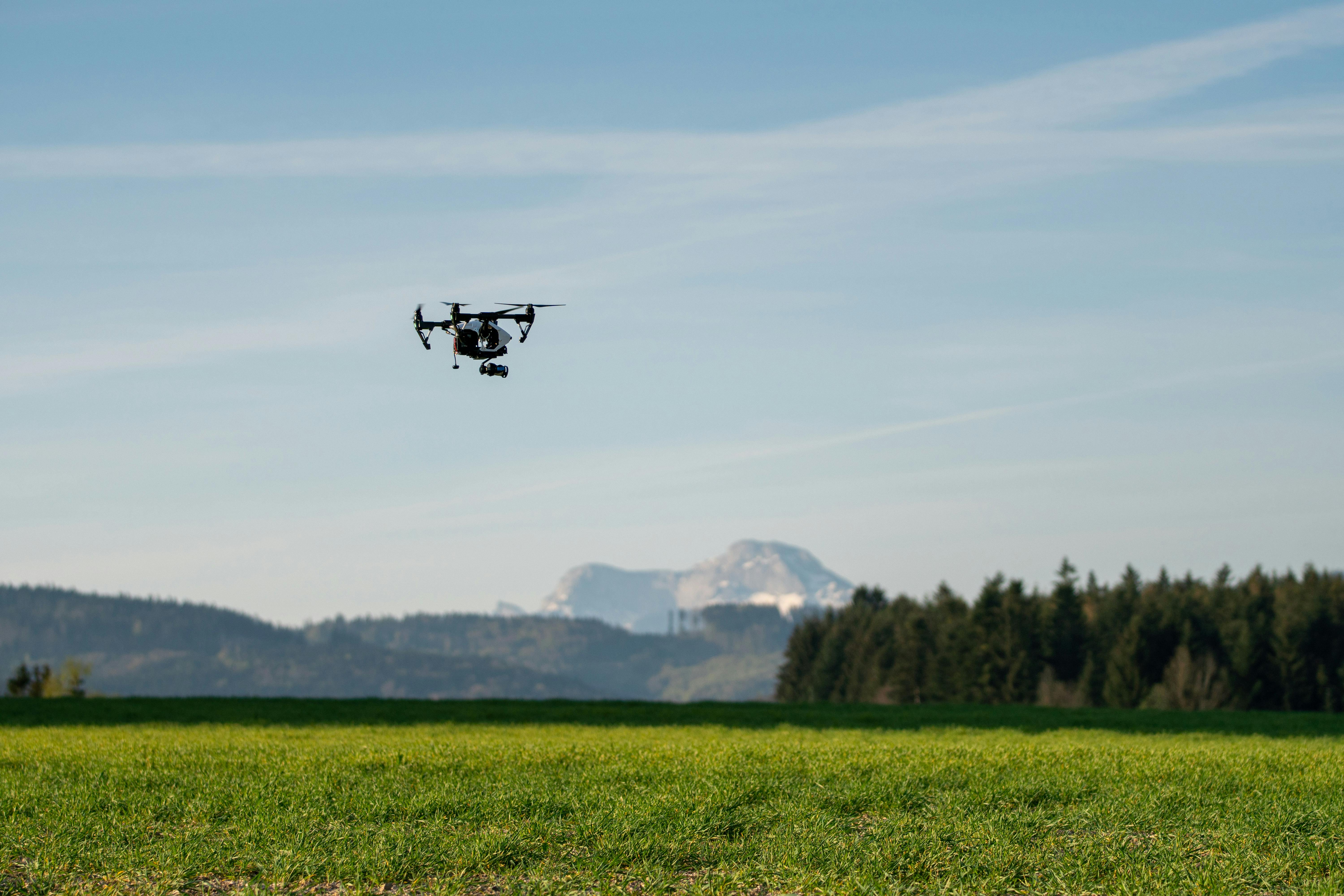
We use drones to survey deer populations from the air, covering large areas of ground quickly and consistently. Aerial surveys give us a perspective that ground-based methods can't match — seeing deer groupings, movements, and numbers across open hill and the margins of woodland from above.
This isn't about replacing fieldcraft with technology — it's about combining the two for better results. Our operators have the deer management experience to interpret what they see from the air and the field skills to plan effective survey routes across challenging Highland terrain.
Aerial Surveys
Coverage
Our counting and censusing services cover a range of species and site types across the Highlands.
Aerial drone surveys provide a bird's-eye view of deer populations across open ground, giving accurate counts and an understanding of how deer are distributed across the landscape.
Comprehensive counts across open hill ground and forested areas, combining drone surveys with ground-based fieldcraft for the most accurate picture of deer numbers.
It's not just deer. We also count feral goat populations and monitor sheep trespass — both of which contribute to herbivore pressure and are relevant to habitat management decisions.
Drone surveys to check whether fenced exclosure areas remain stock-proof and free of deer. We can identify breach points and animals inside exclosures quickly and efficiently from the air.
Aerial drone surveys deliver real benefits over ground-based counting methods alone.
Counting from the air reveals deer groupings, distribution patterns, and numbers across open ground that are difficult to assess at ground level — especially in undulating terrain where deer can be hidden in folds and hollows.
Drones cover large areas quickly and consistently. This means we can survey more ground in less time, with repeatable flight paths that make it easy to compare results between seasons.
Drone surveys cause less disturbance than teams of counters walking the ground. Deer are less likely to move off before they can be counted, giving a more accurate snapshot of where they actually are.
Whether it's a one-off count or an ongoing monitoring programme, get in touch to discuss how our drone surveys can work for you.